
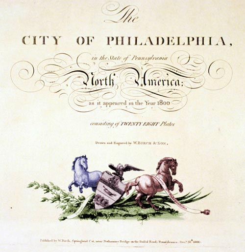
Plate 1: Title Page
Birch's Introduction (printed, not an engraved plate)
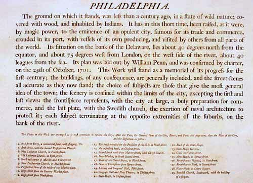
PHILADELPHIA
The ground on which it stands, was less than a century ago, in a state of wild nature; covered with wood, and inhabited by Indians. It has in this short time, been raised, as it were, by magic power, to the eminence of an opulent city, famous for its trade and commerce, crouded in its port, with vessels of its own producing, and visited by others from all parts of the world. Its situation on the bank of the Delaware, lies about 40 degrees north from the equator, and about 75 degrees west from London, on the west side of the river, about 40 leagues from the sea. Its plan was laid out by William Penn, and was confirmed by charter, on the 25th of October, 1701. This Work will stand as a memorial of its progress for the first century; the buildings, of any consequence, are generally included, and the street-scenes all accurate as they now stand; the choice of subjects are those that give the most general idea of the town; the scenery is confined within the limits of the city, excepting the first and last views: the frontispiece represents, with the city at large, a busy preparation for commerce, and the last plate, with the Swedish church, the exertion of naval architecture to protect it; each subject terminating at the opposite extremities of the suburbs, on the bank of the river.
Note: The preceding text appeared in the introduction to the Birchs' original 1800 publication of the engravings. Unless otherwise noted, all other commentary throughout this presentation is by S. Robert Teitelman as it appeared in his 200th anniversary edition published in 2000.Back Next