


 Menu
Menu
Hexamer and Locher Map 1858-62
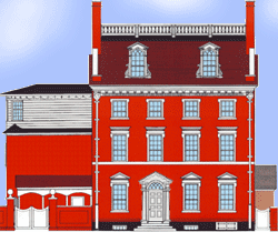
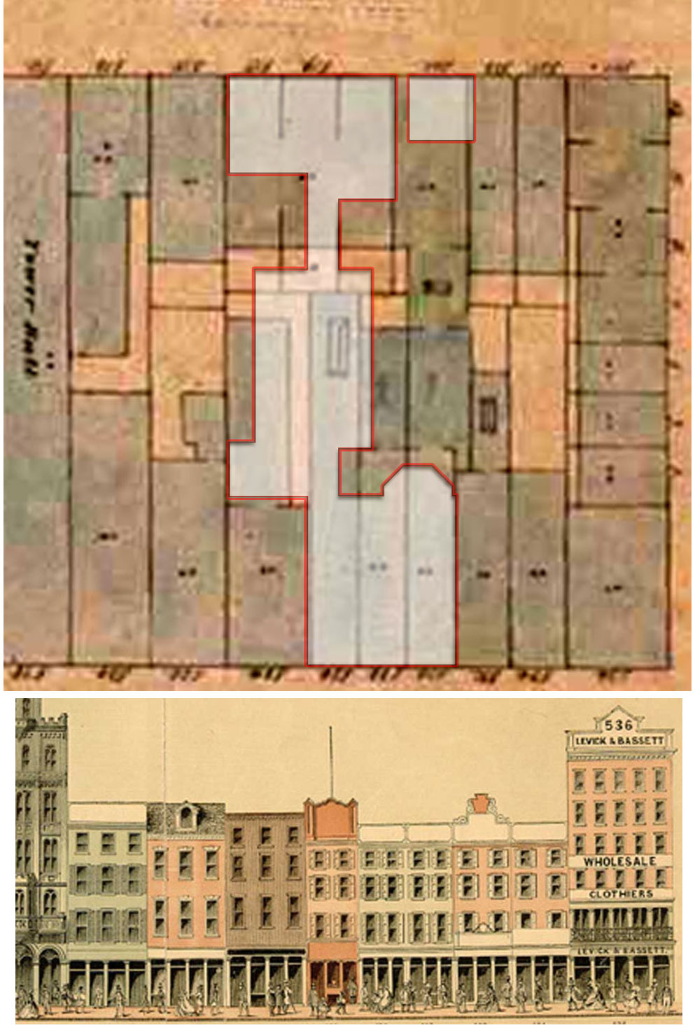
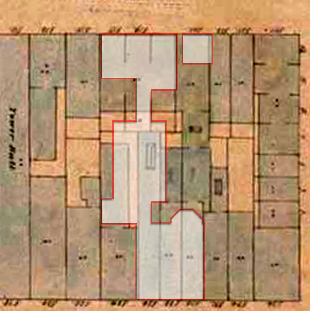
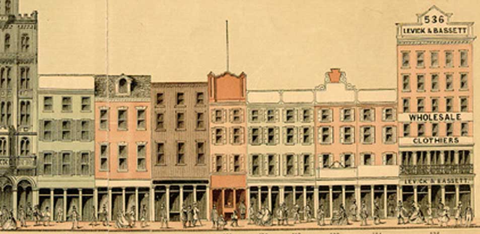
The map shown here is from the Hexamer and Locher Atlas of Philadelphia. The bottom-right of this detail is the southeast corner of 6th and Market Streets. North is to the bottom. The overlay shows the outline of the buildings of the President's House. Below is a detail from Baxter's Panoramic Directory of 1859, showing the same buildings. Click map for enlargement.